
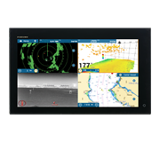
 NavNet MFDs
 Radars
 Fish Finders & Transducers
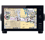 GPS & Chart Plotters
 Autopilots
 Navigation
 Sonars
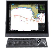 Commercial
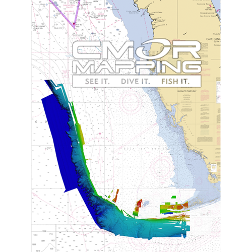

MM3-WAR-BAT-07
MSRP: $700.00
CMOR Mapping for NavNet TZtouch2 and TZtouch3 - Southwest Florida
Chart RegionsUSA East Coast or USA
Chart TypeCMOR
Prices and Specifications Subject to Change Without Notice.
All prices shown are in USD. Prices are valid in US and Canada only.
Available exclusively from CMOR Mapping
CMOR Charts can be purchased only through CMOR. Visit them on the web at www.cmormapping.com.
Phone: 813-563-2667 (option 1 for sales)
E-Mail: sales@cmormapping.com
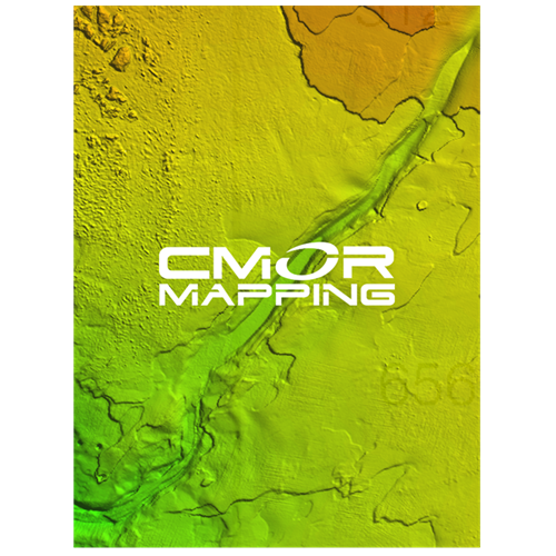
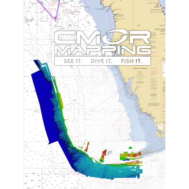
CMOR Mapping - Southwest Florida
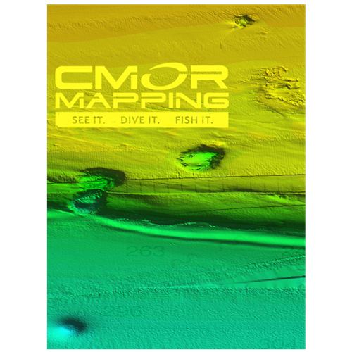
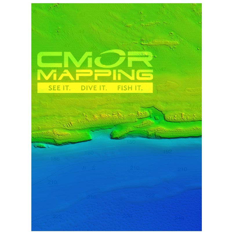
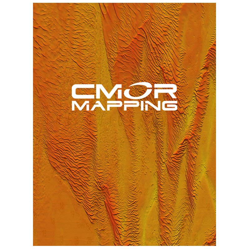
The CMOR Mapping Southwest Florida card combines extensive coverage of the Marquesas Keys, the Dry Tortugas, Pulley Ridge and the rarely fished Florida Canyons north to Tampa.
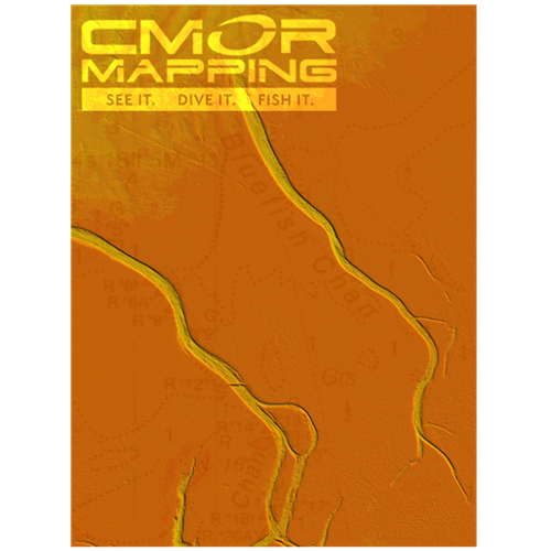
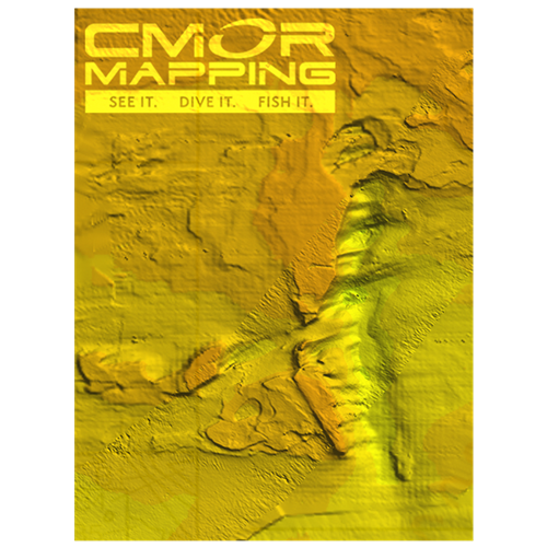
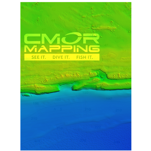
The South West Florida 3D Relief Shading CMOR Mapping Card now includes:
- Over 500 square miles around the Marquesas with depths ranging from 1' in the Quicksand's to 600' in the deep holes south of the Marquesas reef.
- 4,076 square miles in the Florida Canyons with depths ranging from 1,000' in red to 11,200' in purple.
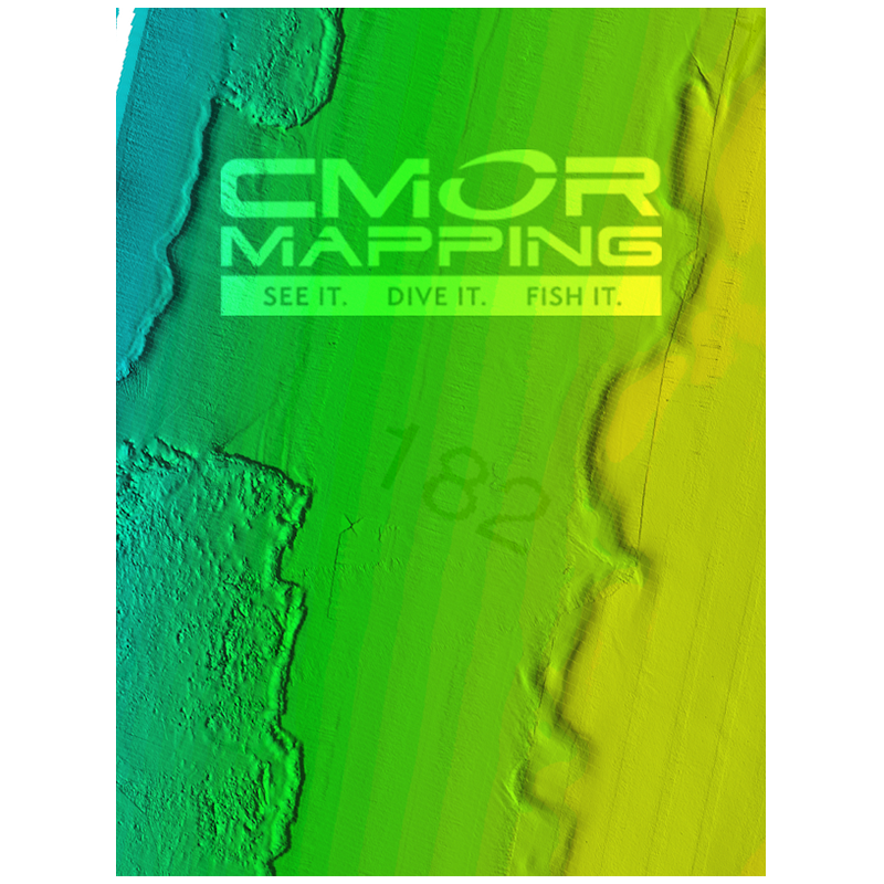
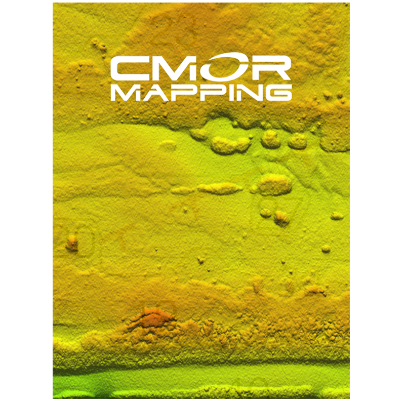
- 300 square miles to the East, West, and North of the Dry Tortugas with depths ranging from 35' in red to 890' in purple.
- 150 square miles covering Pulley Ridge and the surrounding grounds to the west / southwest from 130’ to 600’
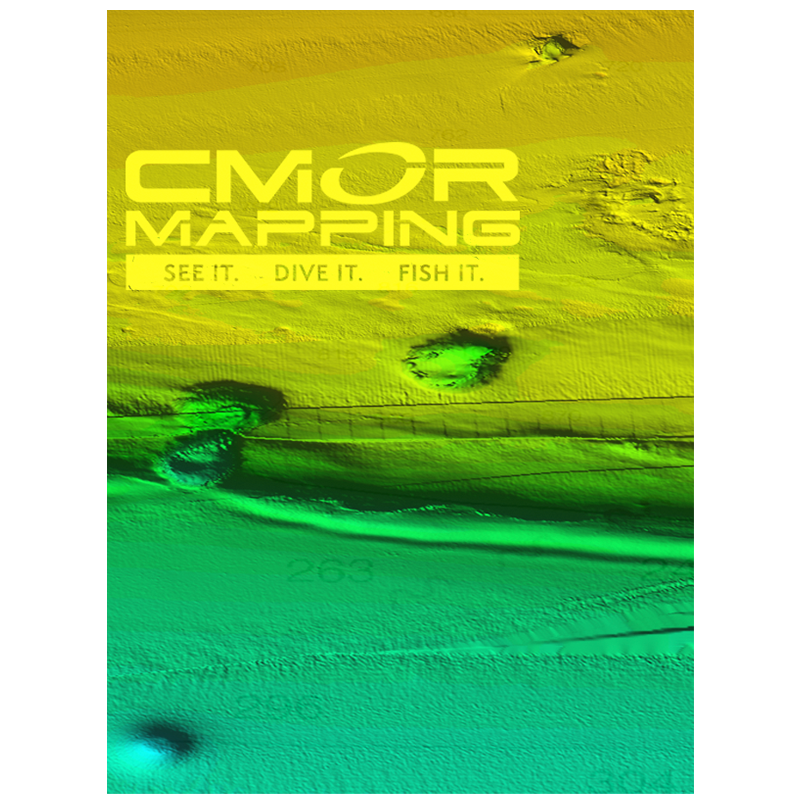
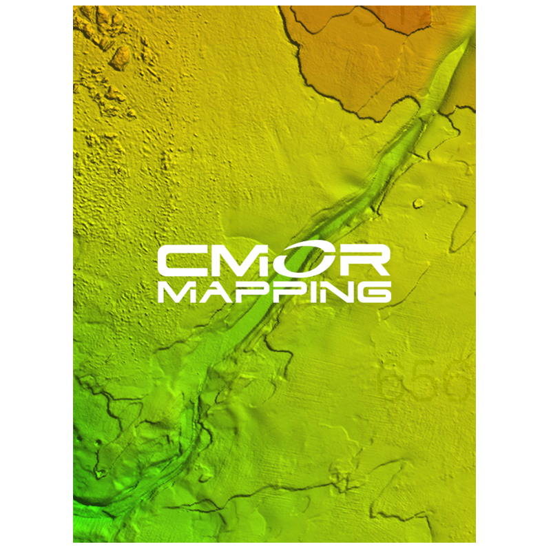
- Untouched muddy bottom west of the Dry Tortugas for tilefish out in 490', deeper structure in 850' that holds queen snapper and deep water grouper, and shallow coral heads and ledges for lobster and monster hogfish!
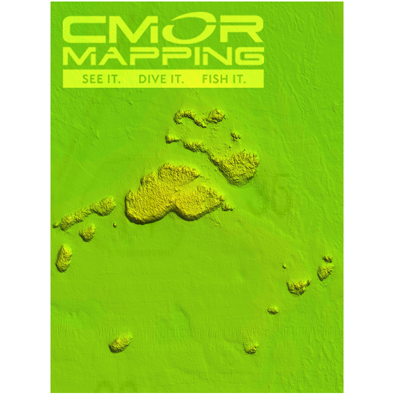
- Full shallow reef coverage from 10’ to 35’ south of Big Pine Key extending past the Marquesas. Great for spearfishing and lobstering!
- Extensive coverage of gulf wrecks and dumping grounds north of Key West and the Marquesas ranging in depth from 15’ to 60’.
- Nearshore Coverage of live bottom and springs out of Naples and Marco island.
Please note that there are several areas in the Tortugas where anchoring, spearfishing and entering are prohibited, so check the regulations prior to arrival.
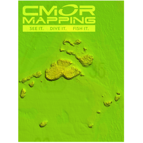
NOAA Charts 11439 and 11013 are included in the background.
This CMOR chart is compatible with all NavNet TZtouch3 MFDs and NavNet TZtouch2 MFDs with software version 6.23 and above. To purchase this chart pack for NavNet, you will need to provide your NavNet system ID to your local authorized Furuno dealer. The system ID can be located under the MyNavNet menu on your NavNet system.
Click Here to download CMOR Mapping - Southwest Florida.
Note that you will need to purchase an unlock code from CMOR at the contact information provided at the top of this page.
NOTE: All sales of Chart Unlock Codes are final. Once an unlock code for any chart area is purchased and the code has been provided by Furuno, no refunds, credits, or exchanges are permitted.
Areas displayed are for guidance only and do not reflect exact coverage.