
 NavNet MFDs
 Radars
 Fish Finders & Transducers
 GPS & Chart Plotters
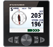 Autopilots
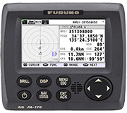 Navigation
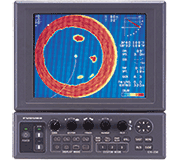 Sonars
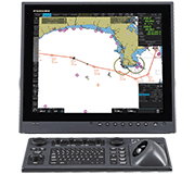 Commercial
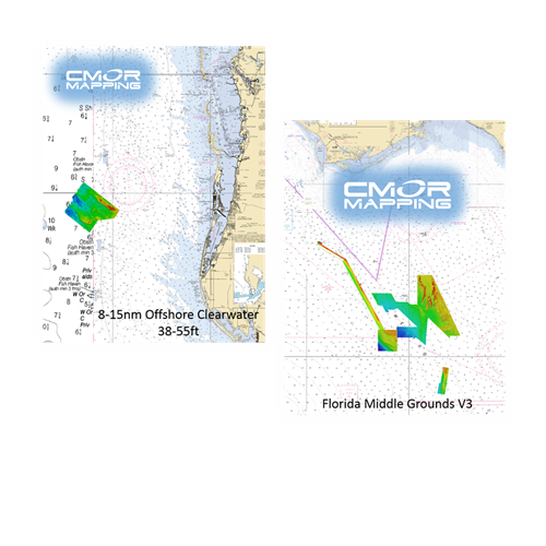
MM3-WAR-BAT-03
MSRP: $700.00
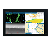
CMOR Mapping for NavNet TZtouch2 and TZtouch3 - Florida Middle Grounds
Chart RegionsUSA Central or USA East Coast
Chart TypeCMOR
Prices and Specifications Subject to Change Without Notice.
All prices shown are in USD. Prices are valid in US and Canada only.
Available exclusively from CMOR Mapping
CMOR Charts can be purchased only through CMOR. Visit them on the web at www.cmormapping.com.
Phone: 813-563-2667 (option 1 for sales)
E-Mail: sales@cmormapping.com
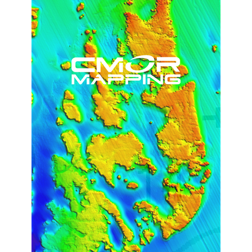
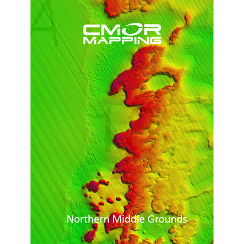
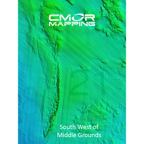
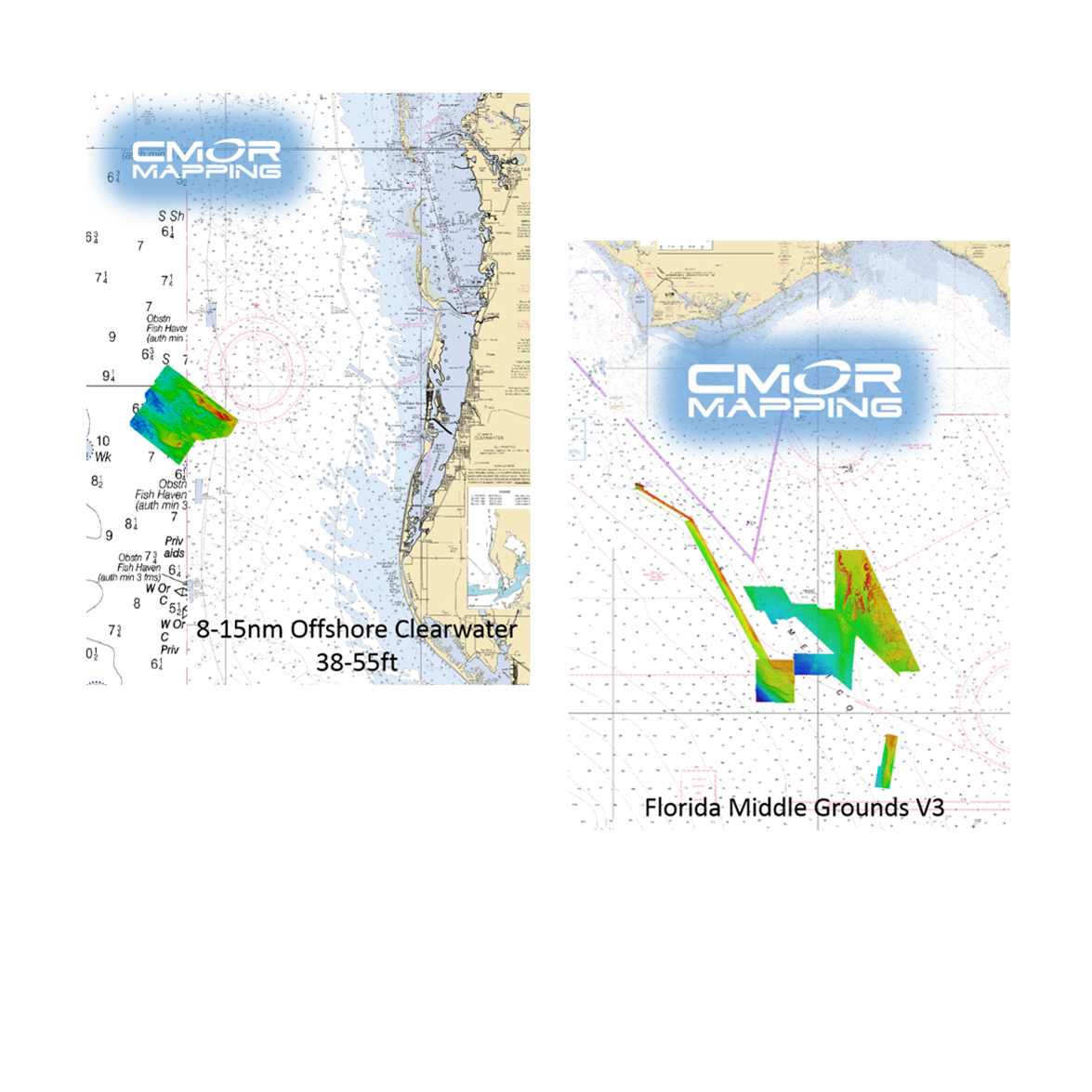
CMOR Mapping - West Florida Middle Grounds
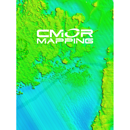
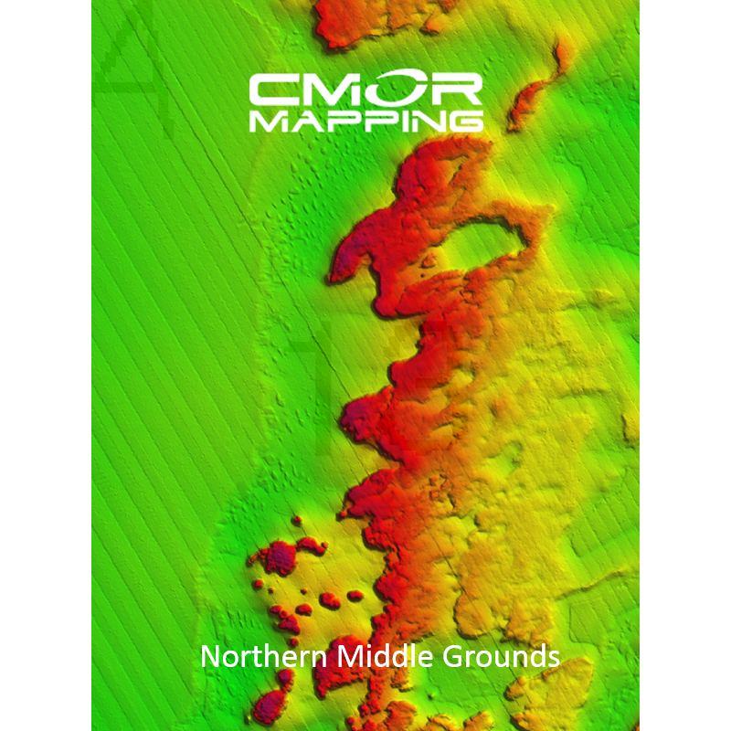
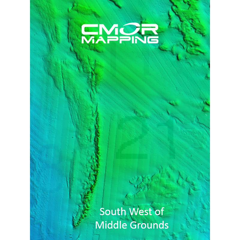
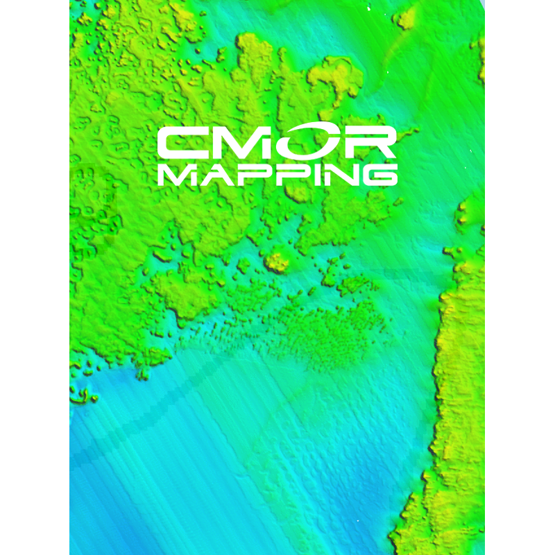
The new West Florida 3D Relief Shading CMOR Card — a major expansion and update of the previous Florida Middle Grounds V3 CMOR Card — features major expansions of nearshore and deep drop spots, along with privately collected data from the St. Joseph Peninsula in the panhandle to Marco Island in southwest Florida. These additions have been mapped in high resolution for the first time, and exclusively on CMOR Mapping.
West Florida CMOR Mapping highlights:
- St. Joseph Peninsula nearshore and deep drop coverage beyond Twin Ridges and Madison Swanson
- Big Bend exclusive data starting 25 miles offshore Alligator Harbor with spots ranging from 5 to 11 fathoms.
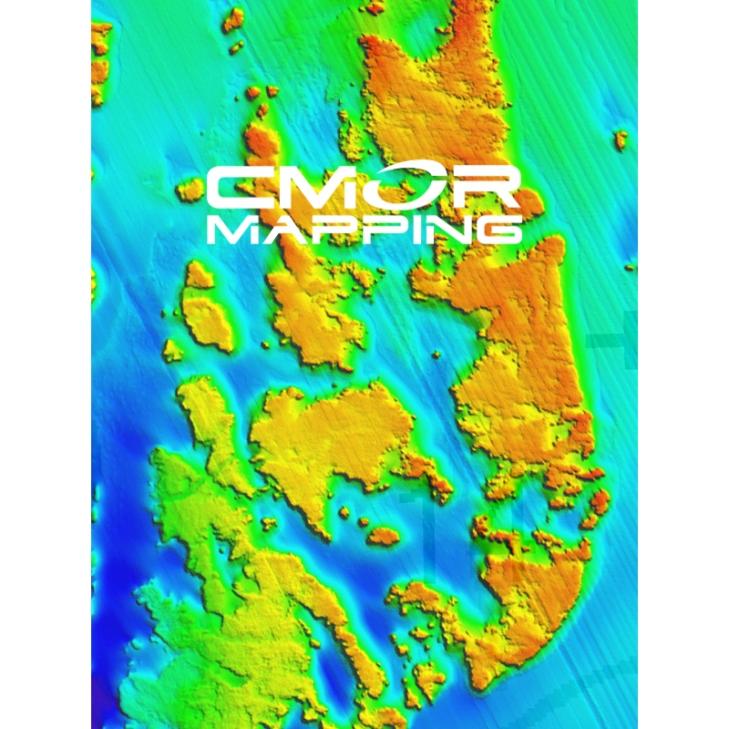
- Expansion northwest of the Middle Grounds ranging from 19 to 29 fathoms, in addition to the existing data of over 1,000 square miles of coverage ranging from 75’ to 225’
- Over 50 square miles of coverage of The Elbow with depths ranging form 144’ to 215’
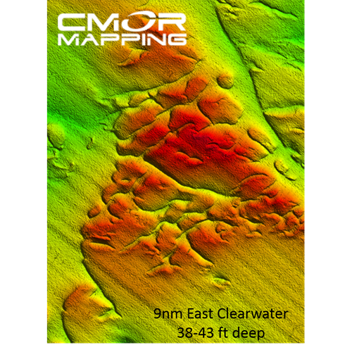
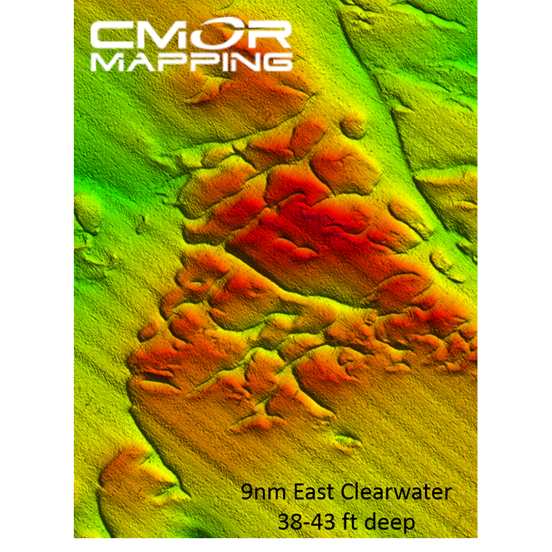
- Expansion of Clearwater nearshore including shoreline data, 21’ bottom only 4 miles offshore, and new spots ranging from 6 to 10 fathoms in addition to over 20 square miles of data ranging from 38’ to 55’
- The 40 break from Twin Ridges to Steamboat Lumps.
- Tampa includes bay channel and targeted wreck, structure and pipeline data from Pendola Point to over 30 miles offshore with coverage in depths ranging from the shoreline to over 19 fathoms
- New Pass through Stump Pass features shoreline data to 28’, spots ranging from 27’ to 45’, and spots over 19 miles offshore in depths ranging from 65’ to 80’
- Boca Grande Pass includes 2.5 miles of Charlotte Harbor to over 4 miles offshore Boca Grande Pass with depths ranging from the shoreline to 69’ at the tarpon fishing hole
- Sanibel Island through Marco Island now features shoreline and privately collected data on some of the best fishing spots up to 35 miles offshore with depths ranging from the shoreline to over 50’ and spots such as the 7’ ledge to deep holes over 66’ deep
NOAA Chart 11006 is included in the background.
This CMOR chart is compatible with all NavNet TZtouchXL, TZtouch3, and NavNet TZtouch2 MFDs with software version 6.23 and above. To purchase this chart pack for NavNet, you will need to provide your NavNet system ID to your local authorized Furuno dealer. The system ID can be located under the MyNavNet menu on your NavNet system.
Click here to download CMOR Mapping - Florida Middle Grounds.
Note that you will need to purchase an unlock code from CMOR at the contact information provided at the top of this page.
NOTE: All sales of Chart Unlock Codes are final. Once an unlock code for any chart area is purchased and the code has been provided by Furuno, no refunds, credits, or exchanges are permitted.
Areas displayed are for guidance only and do not reflect exact coverage.