
 NavNet MFDs
 Radars
 Fish Finders & Transducers
 GPS & Chart Plotters
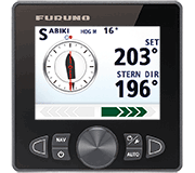 Autopilots
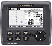 Navigation
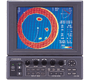 Sonars
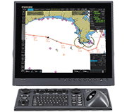 Commercial
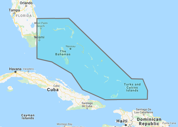
MM3-RNA-930
MSRP: $250.00
Bahama Explorer Raster Chart
Chart RegionsBahamas
Chart Type3D Bathy Data or Raster or Satellite Photo
Prices and Specifications Subject to Change Without Notice.
All prices shown are in USD. Prices are valid in US and Canada only.
Raster Charts, 3D Data and Satellite Photography - Bahamas Explorer Charts
This Chart Pack includes the Explorer Charts of the Bahamas. Included are raster charts, 3D data and standard resolution satellite photography for Bahamas including Abacos, Grand Bahamas Bank, Bimini, New Providence, Chubb Cay, North Andros Island, Mangrove Cay, South Andros, Exumas, Eleuthera Island, Cat Island, Ragged Island, Long Island, Acklins Island, Crooked Island, Mayaguana Island, Little Inagua Island, Great Inagua Island. Note that you will need to purchase an unlock code to view this chart data. Unlock Codes for NavNet must be purchased through an Authorized Furuno Dealer.
The Bahamas Satellite Photo Pack MM3-908-SAT is included at no additional cost.
To purchase this chart pack for NavNet, you will need to provide your NavNet system ID to your local authorized Furuno dealer. The system ID can be located under the “My NavNet” menu on your NavNet system.