
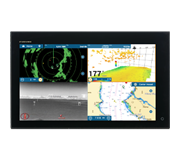
 NavNet MFDs
 Radars
 Fish Finders & Transducers
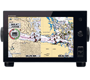 GPS & Chart Plotters
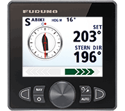 Autopilots
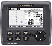 Navigation
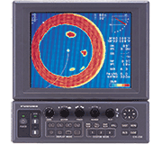 Sonars
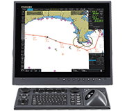 Commercial
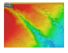
MM3-USF-002
MSRP: $0.00
Highly Detailed Fishing Charts for the US West Coast
Chart RegionsUSA West Coast or USA
Chart TypeFishing or Vector or Bathymetric
Free ChartsCharts
Prices and Specifications Subject to Change Without Notice.
All prices shown are in USD. Prices are valid in US and Canada only.
Highly Detailed Fishing Charts for the US West Coast
The "Fishing Charts" chart selection takes the power of TimeZero technology and introduces detailed bathymetric contour charts developed from National Ocean Service surveys (NOAA-NOS). These Fishing Charts cover the US West Coast and are rendered in stunning detail on any MFD! These Fishing Charts are preloaded on every new NavNet MFD beginning on July 8, 2009. If you purchased your NavNet MFD prior to that date, you can download this chart and install it like all other charts. To use the new Fishing Chart, your MFD must be using software version 2.02 or higher.
We recommend that you request this data on an SD card from your local Authorized Furuno Dealer. A fee may apply for the dealer to provide you with the data on an SD card.
Optionally, you can download the fishing chart. Note that the file size is large and will take time to download, depending on your connection speed and available bandwidth. If you wish to download this fishing chart, click on the link below.
Caution: When downloading DO NOT modify file names or extensions.
>> Download SDUS02FISHMAP01 West Coast Fishing Chart - approx. 590 MB