
 Multi Function Displays
 Radars
 Fish Finders & Transducers
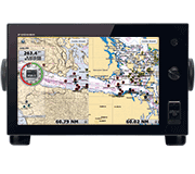 GPS & Chart Plotters
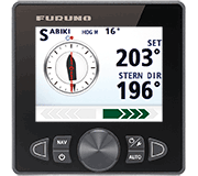 Autopilots
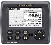 Navigation
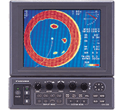 Sonars
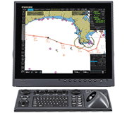 Commercial
NavNet TZtouch2 Software Update Delivers Numerous Advanced Features And System Enhancements
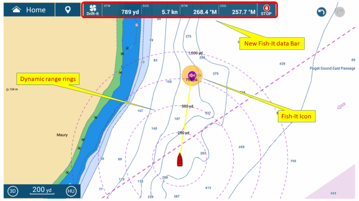
Furuno USA has announced a software update for NavNet TZtouch2 that will bring users many of the new features recently rolled out for their NavNet TZtouch3 series of Multi Function Displays (MFDs). NavNet TZtouch2 software version 8.01 adds the new Fish-It & Drift-It features, an extremely useful tool for fishermen and boaters needing to know the perfect start location to drift over a specific spot.
Camas, WA - Furuno USA has announced a software update for NavNet TZtouch2 that will bring users many of the new features recently rolled out for their NavNet TZtouch3 series of Multi Function Displays (MFDs). Among these enhancements, NavNet TZtouch2 software version 8.01 adds the new Fish-It & Drift-It features, an extremely useful tool for fishermen and boaters needing to know the perfect start location to drift over a specific spot.Create a temporary "Fish-It go-to point" by tapping a location on the chart, such as a pinnacle, wreck, charted artificial reef, or even a hot fishing spot on the Fish Finder screen. Dynamic range rings, a course line between the point and the boat, and a temporary track line are created. A Fish-It data bar with distance and bearing to the point as well as SOG and COG appears along the top of the display. Once a Fish-It spot is created, you can activate Drift-It. This exciting feature automatically calculates a starting point for the vessel to drift directly over your Fish-It waypoint. Just navigate to the starting point and allow the vessel to drift to the Fish-It location within the time selected, within a range of 3 to 20 minutes. Drift-It also helps with anchoring, letting the MFD determine where to drop anchor and get the boat where you’d like it to rest. Fishermen can now play by a totally new set of rules with features found only in Furuno MFDs.
Click on the image to view Furuno's Fish-It/Drift-It First Look video
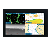
The software update makes these exciting new features available on all NavNet TZtouch2 MFDs, including the TZTL12F, TZTL15F, and the black box TZT2BB. However, the update for the TZT2BB delivers several additional features, exclusive to the TZtouch2 Black Box and its more powerful processor.
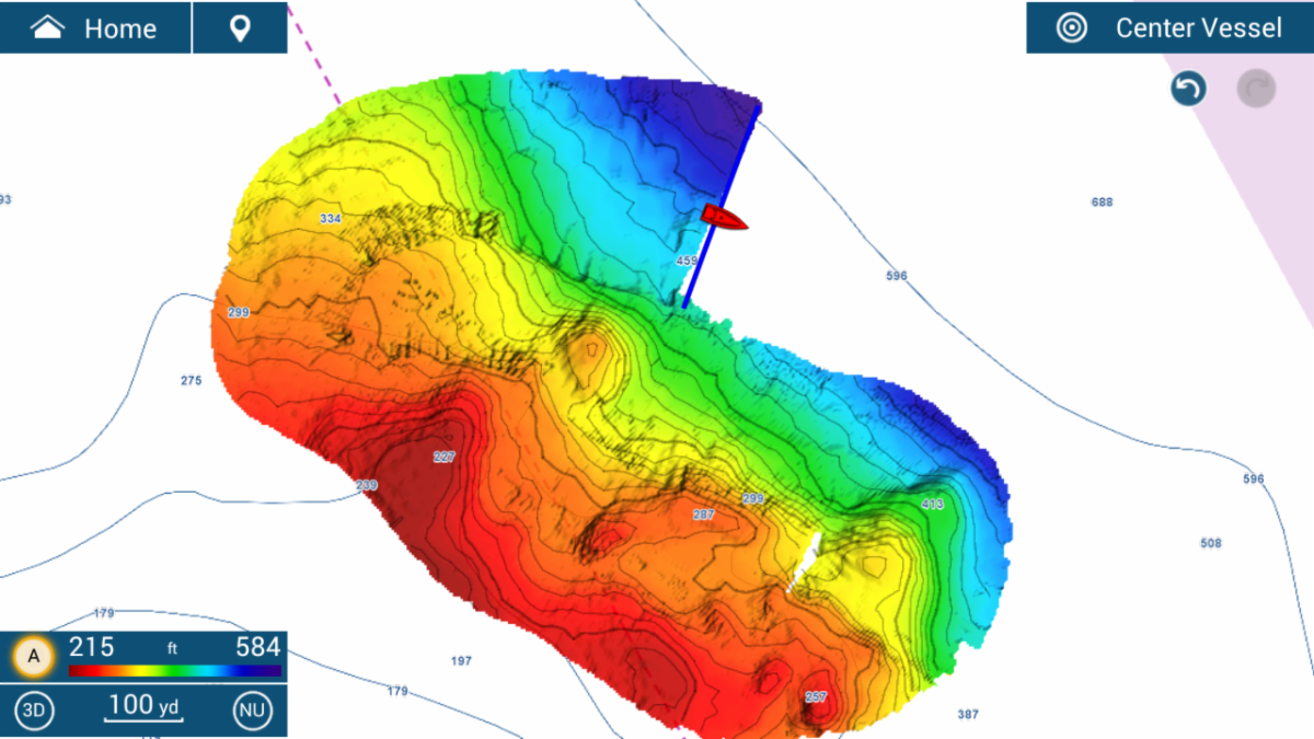
Click on the image to view Furuno's PBG (Personal Bathymetric Generator) First Look video
PBG allows boaters with the TZT2BB and DFF3D Multibeam Sonar to quickly create their own “Survey Quality” Shaded Relief Maps. Bottom images are drawn with shaded relief, depth contours, and variable colors, making it easy to identify hidden structure and ridges that hold fish in a simple, easy-to-interpret presentation. Each ping covers approximately twice the depth at the time of recording, so at a depth of 100 meters, a 200 meter-wide area is displayed and recorded to your TZT2BB.
Also for the TZT2BB, SiriusXM’s Fish Mapping is a subscription-based service for the BBWX4 Satellite Weather Receiver. Fish Mapping provides eight distinct features for saltwater fishermen in North America, including Fishing Recommendation Areas for 6 fish species as well as information such as Water temperature, SST Contours, 30m Subsurface Temperature Contours, Weed lines, Plankton concentrations, and more.
These exciting new features in NavNet TZtouch2 software version 8.01 will provide boaters even more useful information at their fingertips, allowing them to save both time and fuel, making every day on the water simpler. For more information on the numerous new features and enhancements available in this free software update, visit Furuno on the web at www.FurunoUSA.com.
***