
 Multi Function Displays
 Radars
 Fish Finders & Transducers
 GPS & Chart Plotters
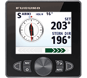 Autopilots
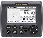 Navigation
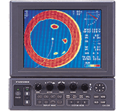 Sonars
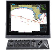 Commercial
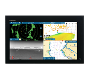
Create Your Own Bathy Charts With PBG for NavNet TZtouch3
NavNet TZtouch3 users with the DFF3D Multi-Beam Sonar can now build their own, custom shaded relief charts using the PBG (Personal Bathymetric Generator) functionality freely available in Furuno's recent version 2.01 software update. Captains can create precision bottom maps quickly and easily due to the 120-degree beamwidth of the DFF3D transducer.
Camas, WA - NavNet TZtouch3 users with the DFF3D Multi-Beam Sonar will be thrilled to learn of the new Personal Bathymetric Generator (PBG) functionality freely available in Furuno's recent version 2.01 software update. PBG allows the operator to create custom high-resolution shaded relief charts of the seafloor using their DFF3D. Captains can create precision bottom maps quickly and easily due to the 120-degree beamwidth of the DFF3D transducer.
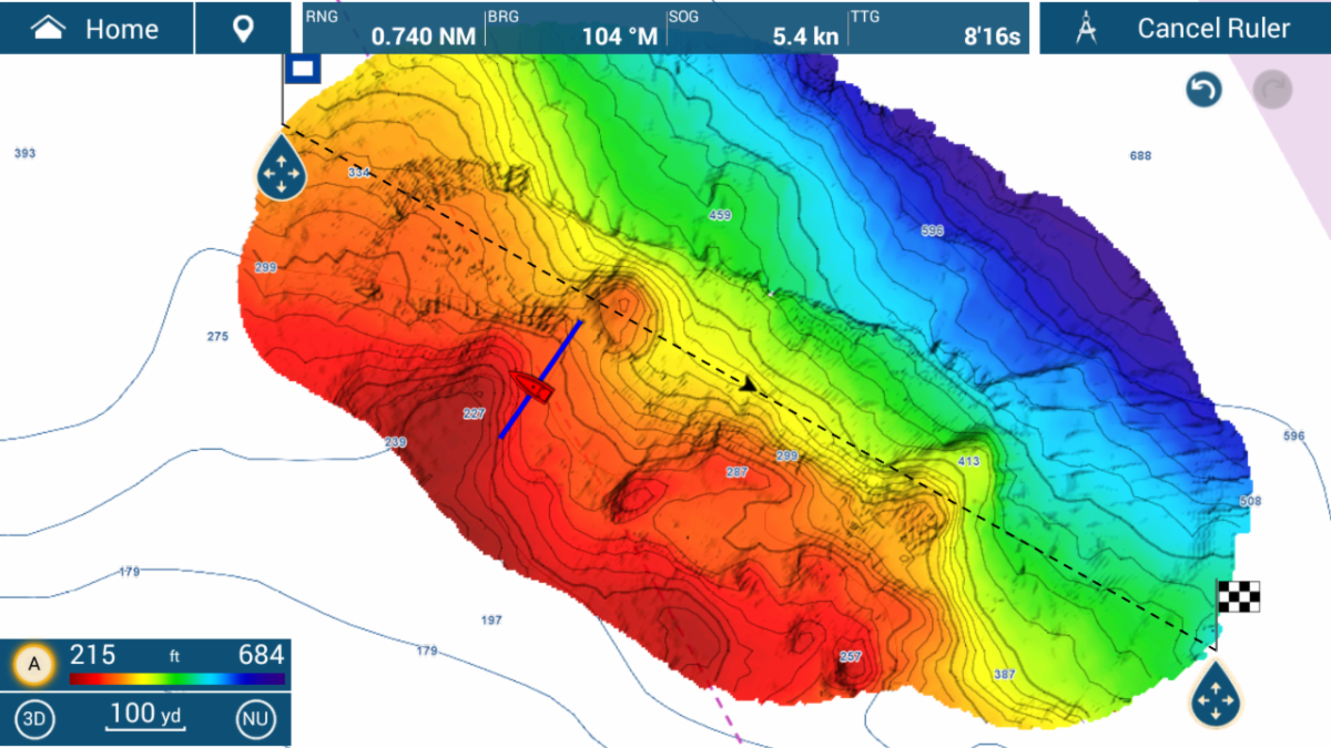
The area shown above is over 250 football fields of area and was mapped in 22 minutes at 6 knots.
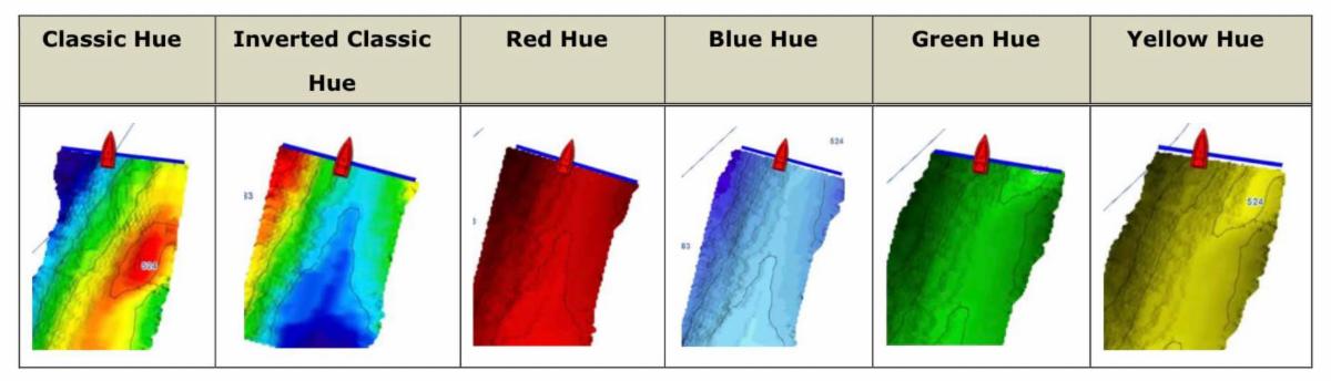
Bottom images are drawn with shaded relief, depth contours, and variable colors, making it easy to identify hidden structure and ridges that hold fish in a simple, easy-to-interpret presentation. Multiple color palettes are available, including the ability to show contour lines only. The area each ping covers is approximately twice the depth at the time of recording, so at a depth of 100 meters, a 200 meter-wide area is displayed and recorded to your NavNet TZtouch3 MFD.
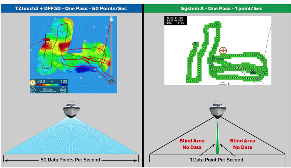
Instead of only one depth point per ping, as seen on other manufacturer's units, the DFF3D produces over 50 depth points with each ping, resulting in fast and efficient custom charts.
TZtouch3's PBG incorporates inertially stabilized and tide-compensated calculations that result in highly accurate bottom mapping previously available only with elaborate, survey-grade acoustic measuring systems. While PBG is simple to use and the detailed bottom maps it produces are easy to understand at a glance, the engineers at Furuno spent years developing the hardware and software to make it accurate and intuitive. Bottom mapping data is saved to the 256GB microSD card that comes in every NavNet TZtouch3 Multi Function Display - enough memory to store a lifetime of PBG data.
PBG works with the NMEA Award-winning DFF3D Multi-Beam Sonar connected to a NavNet TZtouch3 TZT9F, TZT12F, TZT16F, or TZT19F MFD.
Click here to see PBG in action in the Furuno First Look video.
Software update required:
Version 2.01 software for NavNet TZouch3 includes a host of other new features and enhancements. For a complete list of the many new features, and improvements found in this major software update, click here to view the NavNet TZtouch3 Software Version 2.01 Feature List, or browse the NavNet TZtouch3 product pages at www.FurunoUSA.com.
***